Shopping Cart
There are no more items in your cart


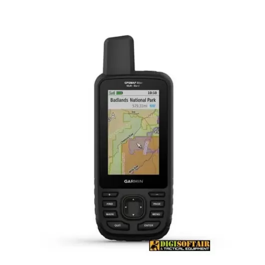
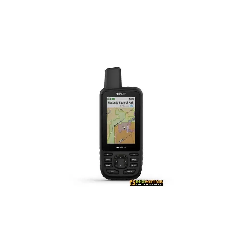
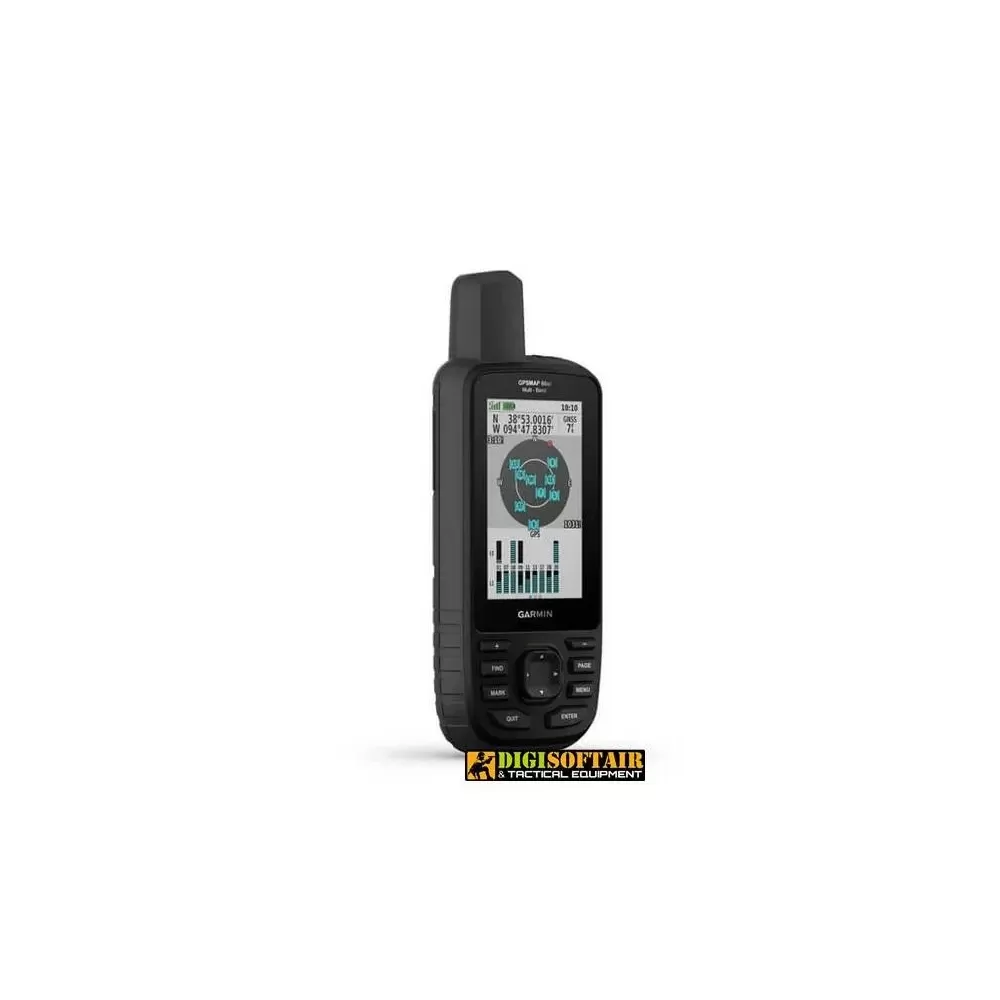
Multiband / GNSS portable device with TopoActive Europe sensors and maps
GO ON YOUR NEXT ADVENTURE
Hiking, hiking, climbing, geocaching, kayaking or mountain biking: explore more using the new portable GPS with advanced functions and 3-inch color screen, preloaded maps and optimal accuracy.
Screen even wider and more readable in any light conditions.
Multi-band technology and extended GNSS satellite support let you find your way in the toughest environments.
Maps with attention to detail and rich in details, without subscription.
Visualize the peaks and valleys with TopoActive Europe maps.
Active Weather allows you to have personalized weather forecasts, whenever and wherever you want1.
Explore more with up to 36 hours of battery life in GPS mode and up to 450 hours in Expedition mode.
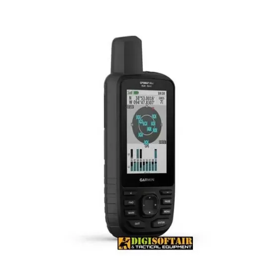
EXTENDED GNSS SUPPORT
Support for multi-band technology and GNSS (GPS, GLONASS, Galileo, QZSS and IRNSS) provides optimal accuracy in poor reception areas, in cities or in open spaces with obstacles.
ABC SENSORS
Walk each trail with ABC sensors, which include an altimeter for elevation data, a barometer to monitor the weather, and a 3-axis electronic compass.
BIRDSEYE SATELLITE IMAGES
Download high-resolution satellite view maps directly to your device without an annual subscription. Easily find routes, choose locations, find rest areas, create waypoints and more.
TOPOACTIVE EUROPE MAPS PRELOADED
TopoActive Europe maps provide detailed views of the road and trail network, waterways, natural features, land use areas, buildings and more.
ACTIVE WEATHER
When paired with a compatible smartphone you can get information on real-time forecasts and weather radar, so you are always aware of the surrounding conditions
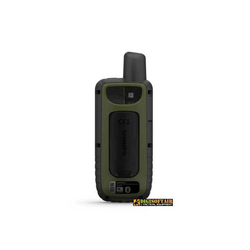
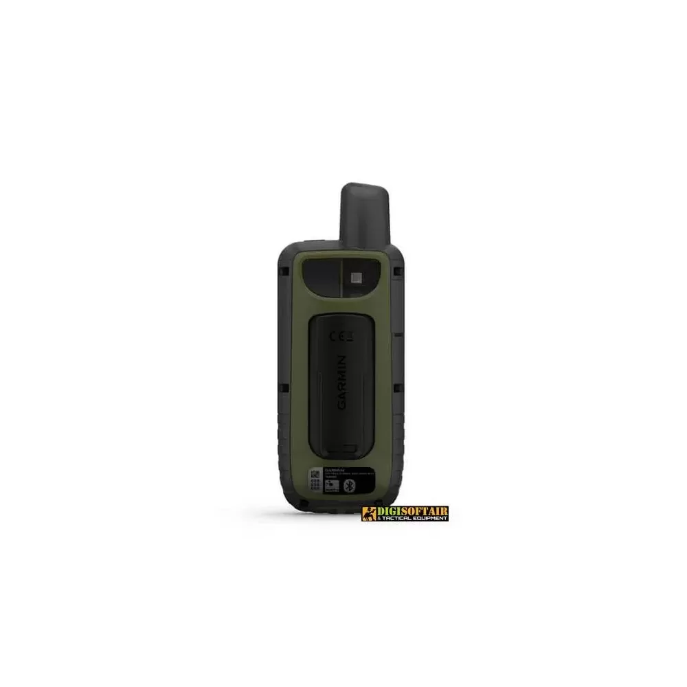
DESIGNED FOR ADVENTURE
This portable device meets military standards for resistance to extreme temperatures, shocks and water (MIL-STD-810) and is also compatible with night vision goggles.
LED TORCH
The GPSMAP 66 series saves battery life with a built-in LED flashlight that can be used for reporting.
GEOCACHING
Download automatic cache updates from Geocaching Live, including descriptions, logs and tips. When connected via Wi-Fi® technology or the Garmin Connect2 app, each search is loaded into the Geocaching.com profile.
GARMIN EXPLORE ™ APP
Plan, review and sync waypoints, routes and tracks using the Garmin Explore ™ 2 app and website. You can also review completed tasks while still in the field.
BATTERY LIFE
The internal rechargeable lithium-ion battery provides battery life of up to 36 hours in GPS mode and up to 3 weeks in Expedition mode.
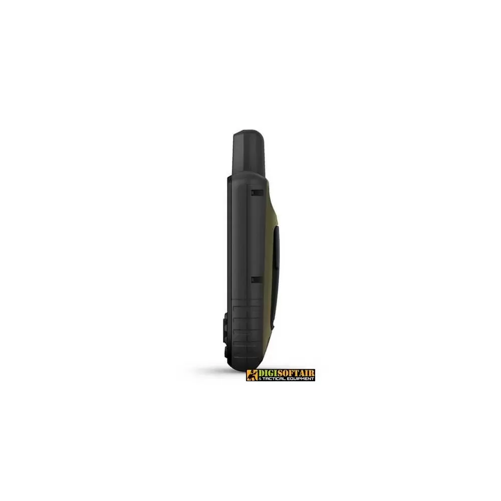
Dimensions 6.2 x 16.3 x 3.5 cm
Screen size, WxH 3.8 x 6.3 cm; 3 inches diagonal (7.6 cm)
Screen resolution, WxH 240 x 400 pixels
Screen type transflective, color TFT
Weight 230 g with batteries
Lithium-ion battery, rechargeable
Battery life Up to 36 hours, up to 450 hours in Expedition mode
IPX7 waterproof rating
MIL-STD-810 yes (temperature, shock, water)
High sensitivity GPS receiver
Interface Compatible with NMEA 0183 and high speed micro USB
16GB memory / history (user space varies based on included maps)
Maps and memory
Preloaded cartography Yes (TopoActive Europe; navigable)
Additional cartography
World basemap
Automatic route calculation (with precise directions of the turns)
Map segments 15
BirdsEye Yes (directly on device)
Includes detailed hydrographic information (coastline, river / lake banks, swamps and perennial and seasonal streams)
Includes searchable points of interest (parks, campgrounds, lookout points, and picnic areas)
View national, state and local parks, forests, and nature reserves
Storage and Power Capacity Yes (32GB microSD ™ card max)
Storable positions 10
Tracks 250
Track log 20,000 points, 250 saved gpx tracks, 300 saved fitness activities
Storable routes 200, 250 points per route; automatic route calculation 50 points
Rinex registration
Sensors: GPS, GLONASS, Galileo, QZSS, IRNSS
Barometric altimeter
Compass Yes (tilt-compensated, 3-axis)
GPS compass (moving)
Smart daily functions
Connect IQ ™ (watch faces, data fields, widgets and downloadable apps)
VIRB ™ remote control
Compatible with Garmin Connect ™ Mobile
Active weather
Smart notifications on the mobile device
Security and detection functions
LiveTrack
Functions for outdoor activities
Point-to-point navigation
Compatible with BaseCamp ™
Area calculation
Calendar for hunting and fishing
Ephemerides
XERO ™ locations
Suitable for geocaching Yes (Geocache Live)
Compatible with custom maps Yes (500 custom map tiles)
Image viewer
InReach remote control widget
Flash meda LED
External applications
Compatible with Garmin Explore ™ app
Compatible with Garmin Explore website
Connections
Wireless connectivity Yes - Bluetooth®, ANT + ®
Tap to zoom