Shopping Cart
There are no more items in your cart


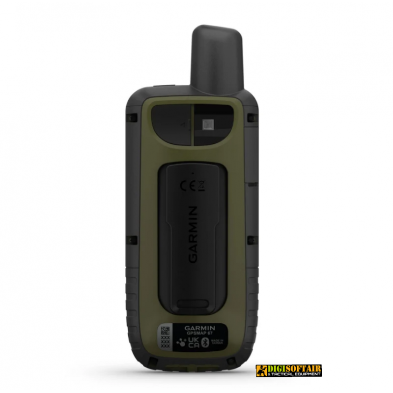
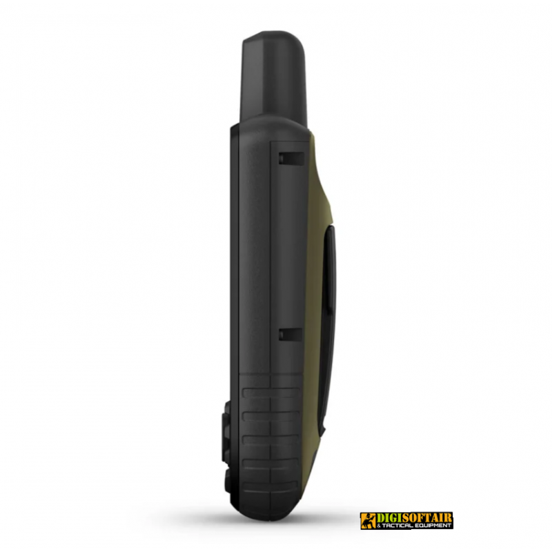
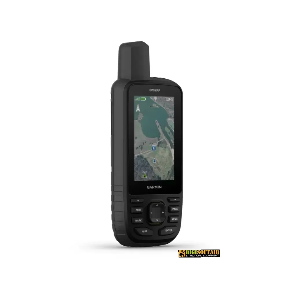
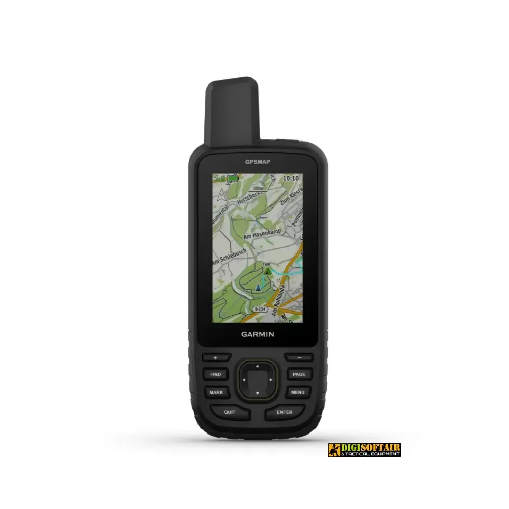
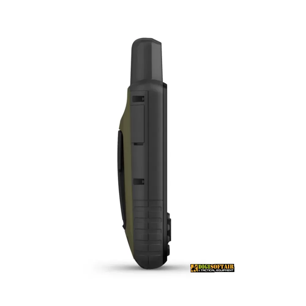
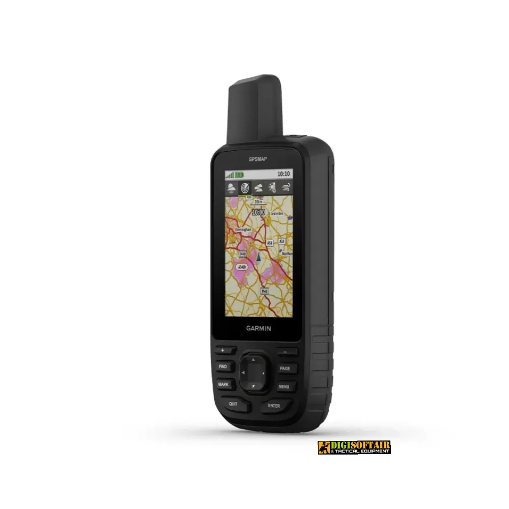
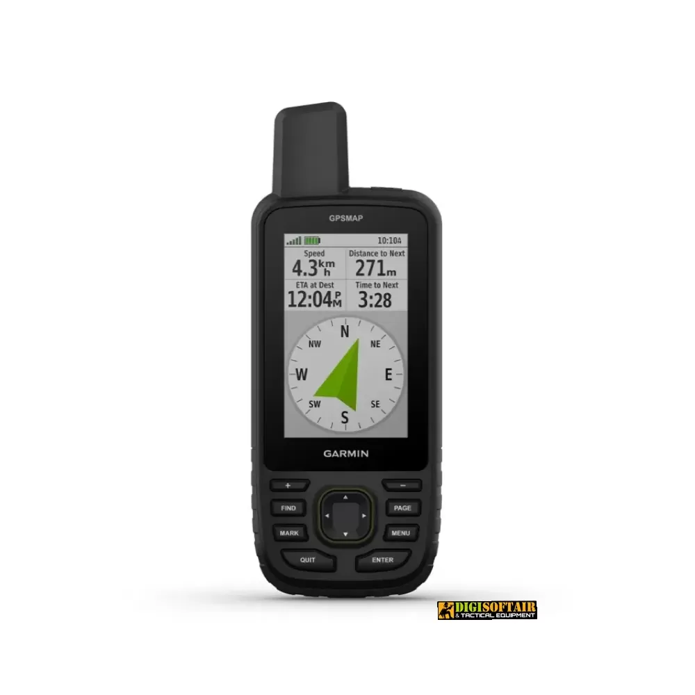
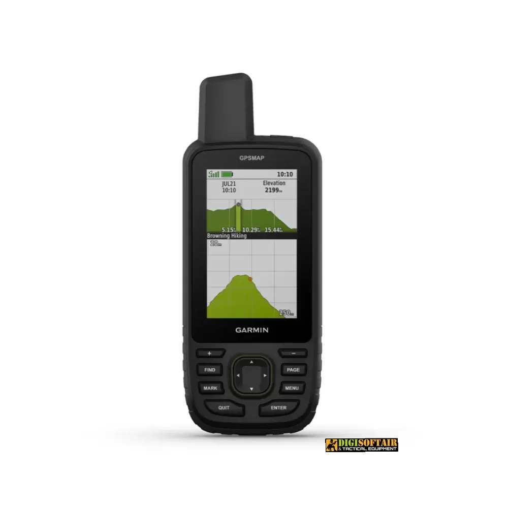
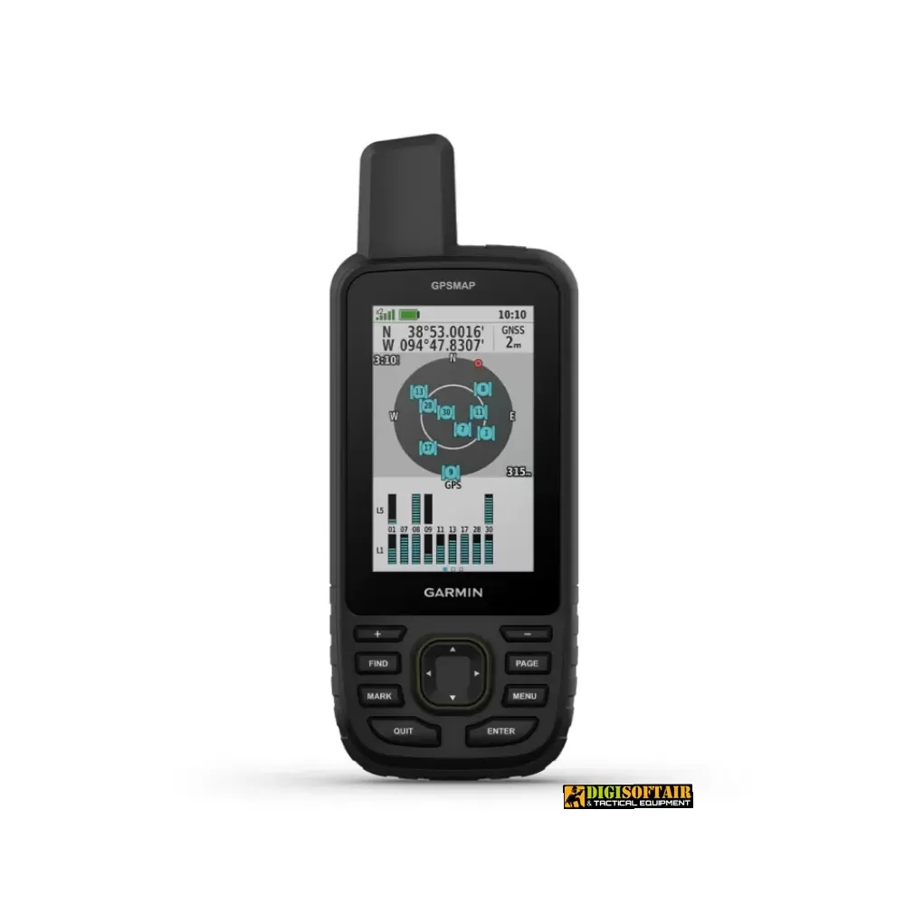
Engineered for explorers who demand reliability, the GPSMAP 67 features a 3″ transflective color TFT display that stays legible in bright sunlight and a one-piece aluminum housing rated for immersion, shock, and extreme temperatures. With multi-band GNSS support, ABC sensors, and preloaded TopoActive maps, you’ll navigate mountains, forests, and remote terrains with unmatched precision.
GPSMAP 67 – advanced navigation built for adventure
Engineered for explorers who demand reliability, the GPSMAP 67 features a 3″ transflective color TFT display that stays legible in bright sunlight and a one-piece aluminum housing rated for immersion, shock, and extreme temperatures. With multi-band GNSS support, ABC sensors, and preloaded TopoActive maps, you’ll navigate mountains, forests, and remote terrains with unmatched precision.
Key features
MULTI-BAND GNSS SUPPORT: GPS, GLONASS, Galileo, QZSS on multiple frequencies for faster, more accurate fixes in challenging environments
ABC SENSORS: barometric altimeter, pressure-monitoring barometer, and 3-axis tilt-compensated electronic compass
PRELOADED TOPOACTIVE EUROPE MAPS: terrain contours, parks, coastlines, rivers, lakes, and searchable waypoints
SATELLITE IMAGERY: high-resolution, photorealistic map downloads over Wi-Fi
PREMIUM MAP FEATURES (with subscription): land parcel data, hunting unit boundaries, BLM limits, and more
BUILT-IN LED FLASHLIGHT: lightweight emergency signaling and illumination
GEOCACHING LIVE: automatic cache data, descriptions, and logs via Wi-Fi or Garmin Explore™ app
ACTIVE WEATHER: real-time forecasts when paired with Garmin Explore™
GARMIN EXPLORE™ APP: plan, sync, and review waypoints, routes, and tracks
MIL-STD-810 & IPX7: shock-, temperature-, and waterproof toughness
Technical specifications & package contents
Display: 3″ diagonal TFT transflective color, 240 × 400 px; viewing area 3.8 × 6.3 cm
Lens: chemically strengthened glass
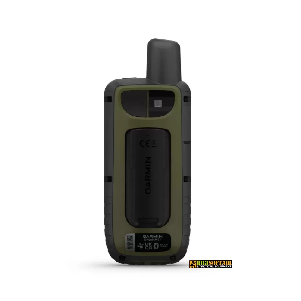
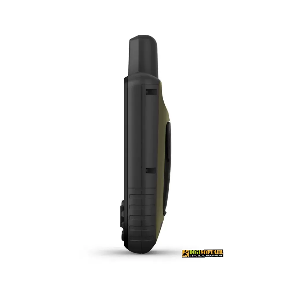
Dimensions: 6.2 × 16.3 × 3.5 cm; weight: 230 g with batteries
Power: rechargeable Li-ion battery, up to 180 h GPS mode, 840 h expedition mode
Memory: 16 GB internal (user space varies); microSD™ up to 32 GB
Maps & Storage: preloaded TopoActive Europe; worldwide basemap; 15,000 map segments; BirdsEye imagery; up to 500 custom map tiles
Waypoints & Tracks: 10,000 waypoints; 250 routes (200 points each); 250 tracks; track log: 20,000 points, 250 GPX tracks, 300 fitness activities
Sensors: GPS, GLONASS, Galileo, QZSS, BeiDou, IRNSS; barometric altimeter; 3-axis electronic compass; high-sensitivity GPS; moving-map compass; multi-band frequencies
Smart features: Connect IQ™ (watch faces, widgets, apps); Smart Notifications; VIRB™ remote control; Garmin Connect™ Mobile compatibility
Tactical features: ballistic calculator (unlockable); XERO™ positions
Outdoor features: point-to-point navigation; TracBack®; area calculation; fishing forecasts; sun & moon data; Geocaching Live
Connectivity: Wi-Fi®, Bluetooth®, ANT+®; USB-C for charging/data
Package includes: GPSMAP 67, USB-C cable, carabiner clip, quick-start guide, safety manual
With the GPSMAP 67, you’ll carry detailed maps, accurate positioning, and real-time weather—all in a rugged, mission-ready package.
Warnings & compliance
For outdoor use with compatible devices only. Handle with care; avoid severe impacts or excessive button pressure. Keep out of reach of children. Do not expose to temperatures above 60 °C, open flames, or prolonged humidity. Do not disassemble or modify the unit; consult authorized service centers if needed. Compliant with GPSR Regulation and Italian standards for portable electronic devices.
Tap to zoom
