Shopping Cart
There are no more items in your cart


- Last items in stock
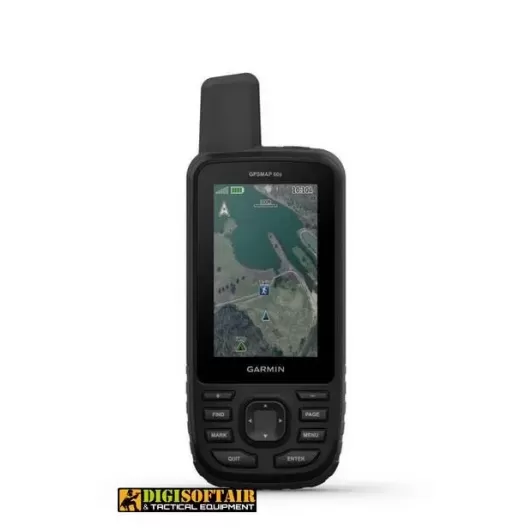
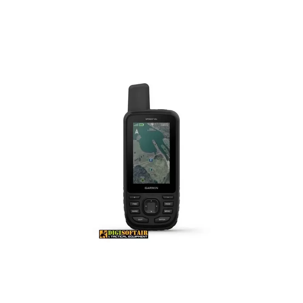
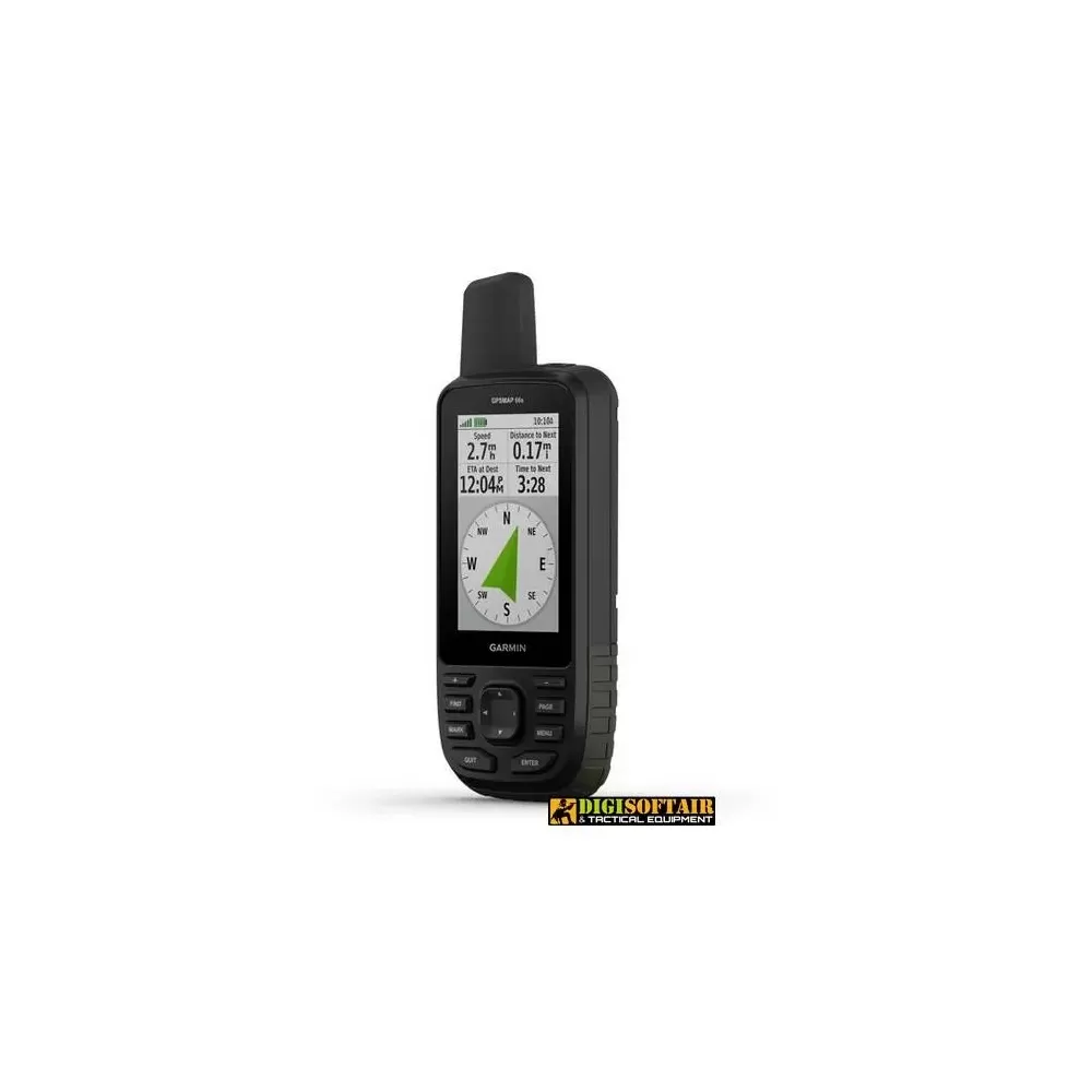
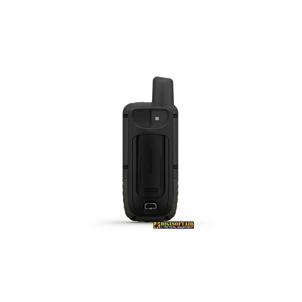
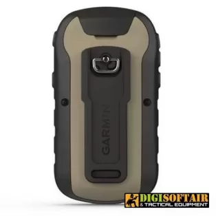
GPS GPSMAP 66s GARMIN Italy Warranty
Access multiple international navigation satellite systems (GPS, GLONASS and Galileo) for better accuracy than GPS alone
MULTI-GNSS SUPPORT
General
Dimensions 6.2 x 16.3 x 3.5 cm
Screen size, WxH 3.8 x 6.3 cm; 3 "diagonal
Screen resolution, WxH 240 x 400 pixels
Type of color transflective TFT screen
Weight 230 g with batteries
Battery 2 AA batteries (not included); NiMH or lithium recommended
Battery life:
Up to 16 hours
Up to 170 hours in expedition mode
IPX7 waterproof rating
MIL-STD-810 yes (temperature, shock, water)
High sensitivity GPS receiver
High speed micro USB and NMEA 0183 compatible interface
Memory / history 16 GB
Maps and memory
Preloaded cartography:
Preloaded maps: Base map only
Additional cartography yes
World basemap yes
Automatic route calculation (with precise turn-by-turn directions) Yes (with optional mapping for detailed roads)
Map segments 15000
BirdsEye yes (direct to device)
Includes detailed hydrographic information (coastline, river / lake banks, swamps and perennial and seasonal streams)
Includes searchable points of interest (parks, campgrounds, lookout points, and picnic areas)
View national, state and local parks, forests, and nature reserves
Storage and power capacity microSD ™ card (not included)
10,000 storable positions
Tracks 250
Track log 20,000 points, 250 gpx tracks, 300 fitness activities
250 storable routes
Rinex registration
Sensors: GPS, GLONASS, Galileo
Barometric altimeter: yes
Compass Yes (tilt-compensated, 3-axis)
GPS compass (moving)
Smart daily functions
Connect IQ ™ (watch faces, data fields, widgets and downloadable apps)
VIRB ™ remote control
Compatible with Garmin Connect ™ Mobile
Active weather
Smart notifications on the mobile device
Security and detection functions
LiveTrack
Functions for outdoor activities
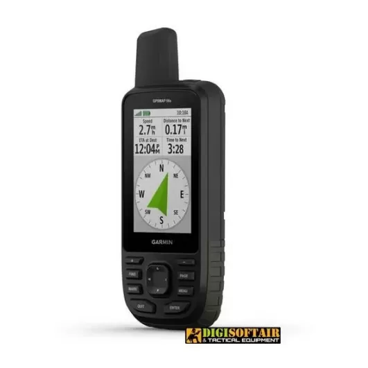
Point-to-point navigation
Compatible with BaseCamp ™
Area calculation
Calendar for hunting and fishing
Ephemerides
XERO ™ locations
Suitable for geocaching Yes (Geocache Live)
Compatible with custom maps Yes (500 custom map tiles)
Image viewer
Camera No.
InReach remote control widget
Flash meda LED
External applications
Compatible with Garmin Explore ™ app
Compatible with Garmin Explore website
Connections
Wireless connectivity: yes (Wi-Fi®, BLUETOOTH®, ANT + ®)
Additional Features:
Garmin Explore Compatibility: Yes
Garmin Connect IQ Compatibility: Yes
Wireless compatible: yes (Wi-Fi, Bluetooth and ANT +)
Map segments: 15,000
Active Weather: yes
Smart notifications: yes
Live Tracking: Yes (with) Garmin Connect ™ Mobile
BirdsEye directly to device: yes (annual subscription is not required)
Ruggedness conforms to MIL-STD-810G standard for thermal, shock and water performance
Large 3 "color anti-glare screen for clear and easy viewing
Reception of multiple GNSS systems (Global Navigation Satellite Systems) for an even more precise tracking of your journeys even in difficult environments, and with an orientation facilitated by a three-axis compass and barometric altimeter
Access to BirdsEye satellite imagery with direct downloads to your device, without an annual subscription
Wireless connectivity supports Weather for updated forecasts and animated radar images, plus Geocaching Live for synchronization and updating from mobile devices
Compatible with the Garmin Explore ™ website and app to easily manage your tracks, routes and waypoints and check your stats even when you're navigating
LED flashlight function, up to 16 hours of battery life in GPS mode and one week in expedition mode to reduce recharges