Italiano
Shopping Cart
There are no more items in your cart
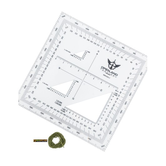
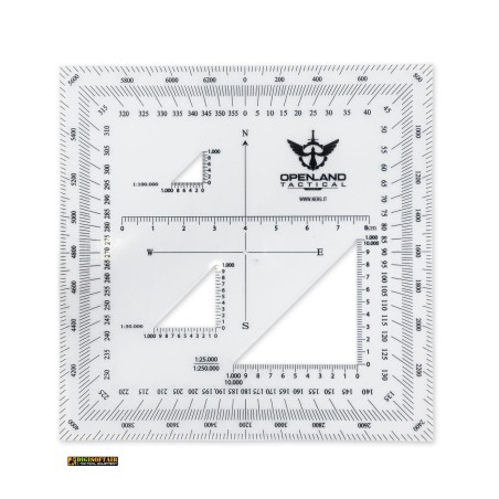
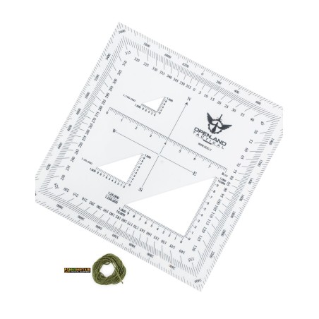
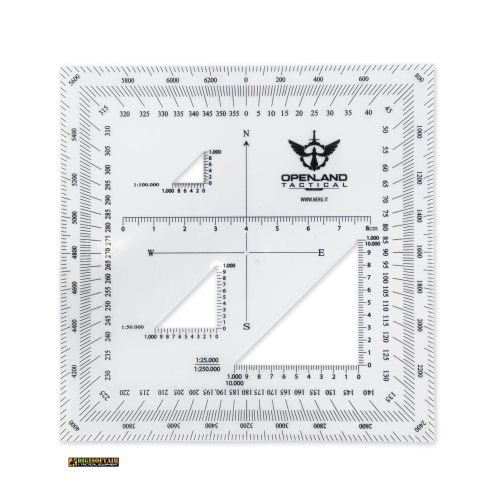
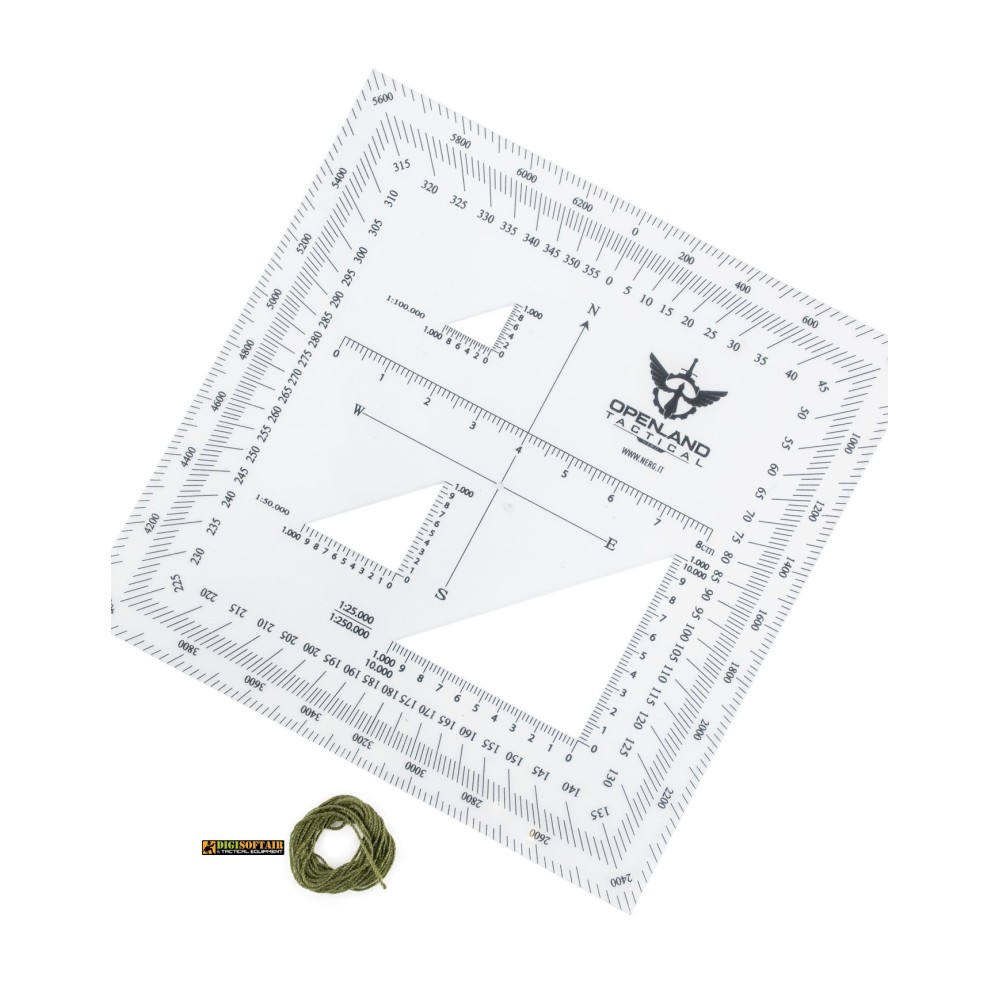
Openland tactical coordinate scale reader 120x120 mm for topographic maps. Features 1:25k, 1:50k, 1:100k, 1:250k scales, 6400 NATO mils, and MGRS/UTM grids.
During foot patrols, land navigation exercises, and advanced orientation in remote or hostile environments, accurately determining grid coordinates on a topographic map is a critical mission capability. The Openland 120 x 120 mm tactical coordinate scale reader is engineered specifically for military personnel, law enforcement units, search and rescue teams, and expert outdoor navigators. Compared to smaller versions, the enlarged 120 x 120 mm format offers a larger reading surface that is easier to handle, making map plotting faster and more comfortable even when wearing gloves.
Constructed from high-clarity, flexible plastic material, this tool is highly resistant to mechanical wear and field weather conditions. The layout incorporates a 360-degree protractor, a 6400 NATO angular mil protractor, and dedicated scale grids for the most widely used military and civilian topographic map scales, including 1:25,000, 1:50,000, 1:100,000, and 1:250,000. The crystal-clear transparency and sharp scale printing allow immediate overlay onto contour lines and MGRS (Military Grid Reference System) or UTM grids without obstructing terrain details.
Technical specifications:
Material: High-flexibility, crystal-clear optical polymer
External dimensions: 120 x 120 millimeters
Integrated map scales: 1:25,000, 1:50,000, 1:100,000, and 1:250,000
Angular measurement systems: 360-degree protractor and 6400 NATO mil protractor
Grid compatibility: MGRS, UTM, and BNG (British National Grid)
Finish: Low-glare scratch-resistant surface for tactical field use
Manufacturer: Openland
Package contents:
Openland 120 x 120 mm tactical coordinate scale reader
Protective storage pouch
Detailed usage instructions:
Orient the topographic map correctly toward magnetic or true North using a sighting or map compass.
Place the corner reader of the scale tool inside the specific grid square containing the target location.
Slide the tool along the grid lines following standard map reading protocol: "read right" (Easting) then "read up" (Northing).
Read the graduation values matching your active map scale to determine exact grid coordinates.
After field use, wipe clean with a soft cloth and store flat away from extreme heat sources to prevent thermal distortion.
Safety warnings and legal compliance: As a manual measuring instrument, navigation accessory, and outdoor map tool, current Italian regulations do not impose any minimum age restriction for purchasing this item. The product fully complies with European General Product Safety Regulations (GPSR). Keep out of the reach of children. As a calibrated precision tool, avoid subjecting the plastic body to extreme folding, cutting, or scratching that could damage the printed metric graduations. Do not clean with harsh chemical solvents or pure alcohol that may degrade the printed markings.
Selecting the Openland 120x120 mm tactical coordinate scale reader provides you with a precise, durable, and essential land navigation device built to perform under demanding field conditions.
8968
20 Items
Tap to zoom